
Canton Township ZIP Code Coverage
Canton Township uses two relevant postal ZIP codes, 48187 and 48188. They help normalize an address before an individual voter query, a mail request, or a search of a postal-facing form. They do not divide the Charter Township into legal districts or prove that every address carrying a Canton postal name sits inside the Township. The state map and Township records support both codes, while the precise internal delivery divider was not established in the official sources reviewed.
| ZIP | Evidence for Canton use | Postal reference | Research caution |
|---|---|---|---|
| 48187 | State approximate map, Township facilities, and the Canton USPS location | Canton post-office location, 480 N Canton Center Road | Useful for an address query, not a Township boundary. |
| 48188 | State approximate map and Township facility or carrier-route references | A second Canton delivery ZIP | The inspected USPS location did not establish its station details or exact edge. |
Start with the ZIP printed on the address, then confirm the street, municipality, and parcel. That order avoids turning a postal label into a jurisdiction claim. It also helps when a condo, subdivision, or rural-era road name appears differently in separate records.
Canton Township Postal Geography
A ZIP code is a mail-routing tool. It is not the same thing as a municipal boundary, a precinct, a school district, or a parcel. Canton is a 36-square-mile Charter Township with subdivisions, condominiums, planned developments, and major corridors. That scale explains why a name plus ZIP can be a useful first sort but still needs an address and a record custodian before it becomes a reliable research match.
The USPS Canton location supports the 48187 postal reference. Michigan's approximate ZIP map and Township materials support the use of both 48187 and 48188. No official source in the research established a precise north-south or east-west divider inside Canton, so a record should be checked at the property or municipal-address level.
Note: A matching Canton ZIP narrows a search but never substitutes for a parcel, street address, or Township-jurisdiction check.
Canton Township ZIP Map Layers
The CIGIS USPS ZIP Codes layer lets a researcher compare approximate postal polygons with roads, parcels, Township boundaries, zoning, and aerial imagery. Its value is geographic context. A map layer can reveal why a search form asks for a ZIP, but it does not establish who lives at a parcel or which government has custody of a record.
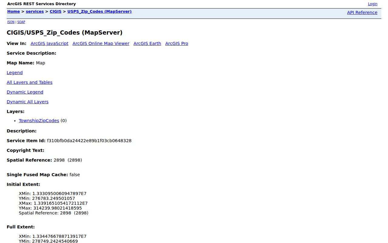
The layer is most useful after an address is already known. Compare it with the parcel and Township-boundary layers, then use the physical address or parcel number in the correct official system. Save a retrieval date because GIS services and their field displays change.
Canton Township ZIP Search Fields
Michigan's Voter Information Center uses ZIP as one part of an individualized lookup. The name route requires first name, last name, birth month, birth year, and ZIP. Its address route asks for street, city, state, ZIP, and an optional apartment or lot. These fields are designed to identify one registration question, not to produce a Canton-wide list of people.
| MVIC route | Documented fields | ZIP role |
|---|---|---|
| Name | First name, last name, birth month, birth year | Required match field |
| Address | Street, city, state, ZIP; apartment or lot optional | Required address element |
| Clerk or county | Address or county selection | Supports routing to a local election contact |
Public voter information has statutory limits. Full birth date, driver-license or state-ID data, signatures, phone numbers, email, and protected records are withheld. A no-match can reflect a move, a protected record, an incomplete search, or a different jurisdiction.
Finding Residents by Canton ZIP Code
Use a Canton Township ZIP code to make an address-based question more precise, then move to the system that fits the record. The assessor and Wayne County tax routes are keyed by address, parcel, or municipality rather than a documented ZIP filter. The CIGIS layer supplies the postal context, and MVIC accepts ZIP within a specific individual lookup. Keep each source in its own lane.
- Write the street number, directional, suffix, unit or lot, and the ZIP as shown on the address.
- Compare the address with the CIGIS ZIP and Township-boundary layers to catch a postal or jurisdiction mismatch.
- Search Canton BS&A by address or parcel to obtain the assessment record, not an occupancy roster.
- Use MVIC only for a defined voter-registration question, supplying the required fields without storing sensitive details.
- When a ZIP leaves several streets in view, use the Canton Township street directory method for parcel and deed research.
ZIP does not replace a legal description. For property questions, record the parcel number and displayed address before moving to a deed, tax, permit, or records-request route.
Canton Township Property Search Limits
Canton BS&A Online exposes address, name, and parcel routes with property-sale, detailed-record, current-tax, permit, building-department, and utility-billing entry points. The official research did not document a ZIP filter for its Canton assessment search. Wayne County's tax search likewise accepts address or parcel ID and has no documented ZIP filter.
That limitation is useful. It keeps the ZIP code directory focused on address normalization instead of claiming a ZIP-by-ZIP resident list exists. Use a ZIP to avoid confusing similar Canton addresses, then use the assessor or GIS to identify the parcel. A displayed owner name is an assessment label, not a statement that every person at the address is known.
Canton Township ZIP Registry Caution
The Michigan State Police registry has street, city, county, ZIP, and neighborhood-radius search paths. That makes the ZIP field visible, but the registry is a statutory public-safety record, not a Canton Township resident directory or a complete history. Its own limitations and privacy warnings govern every search.
Do not treat a ZIP result as a neighborhood roster, a current address history, or a reason to contact anyone. For an urgent safety concern, use law enforcement or the official source's safety instructions rather than a public records search.
Canton Township Boundary Differences
Canton Township postal geography and local government geography overlap, but neither source reviewed fixed the exact internal 48187 and 48188 divider. A ZIP polygon may cross a record jurisdiction or fail to describe a delivery route. Check an official parcel, municipal address, and Township-boundary layer together before choosing a Canton office, Wayne County office, or state custodian.
- ZIP code
- A postal routing code used to sort mail. It is not a municipal boundary.
- ZIP+4
- An added delivery segment used for more precise mail sorting; it does not create a property or government boundary.
- PO-box ZIP
- A code assigned to post-office boxes, which may differ from the delivery ZIP for a physical address.
- Carrier route
- A postal delivery grouping. It can help describe mail service, but it is not a list of residents.
Canton Township ZIP Research Updates
Portal instructions change. Canton has reported GIS-server upgrades, and the public parcel service notes that maintenance and display fields can change. Keep the source URL and date checked with any map-based research. If a postal address, public form, or layer disagrees with another source, ask the relevant custodian to clarify rather than selecting the version that seems most convenient.
The dependable rule is simple: ZIP for postal context, parcel for land context, and the named office for the actual record. That separation makes a Canton Township ZIP code directory useful without overstating what postal data can show.