
Canton Township Street Directory Workflow
For a named road or one Canton Township address, begin with the address-to-parcel connection. The Township’s assessment tools can return a displayed owner and property facts. The map adds the parcel’s position, nearby roads, subdivisions, zoning, and aerial context. Wayne County land records then supply the recorded-instrument trail. Each step answers a different question, so keep the source, displayed date, and exact search wording in a short research log.
Use the owner label as a lead, not a claim that someone currently lives there. A mailing address can differ from the physical property address, and a deed can name a buyer who later moved. When a person is the actual subject of the question, an address search should remain limited to the relevant official record rather than combining unrelated records.
- Enter the property in Canton BS&A Online by address, parcel number, or name. Record the displayed parcel number, situs address, and legal description before moving on.
- Test address variants. Try the directional prefix, the abbreviated or spelled-out street suffix, the unit or lot, and either Canton ZIP when the live form asks for one.
- Open the Canton CIGIS catalog and inspect the parcel, road, development, zoning, or aerial layer that fits the question.
- Use the parcel number or legal description in Wayne County Land Records to locate recorded deeds, plats, releases, and related instruments.
- For a defined civic question, use the Michigan Voter Information Center only through its supplied individual search routes. It is not a street-wide roster.
- For historical household evidence, ask a library reference desk to confirm the title, year, and geographic scope of any directory or newspaper source before treating it as an address match.
- For a dated building or planning question, ask Canton Building or Planning for the available route, or make a narrow records request with the address, department, and date span.
See the official Canton Assessors Office search starting point before entering an address. The controls documented by the office help separate a property search from a claim about a household.
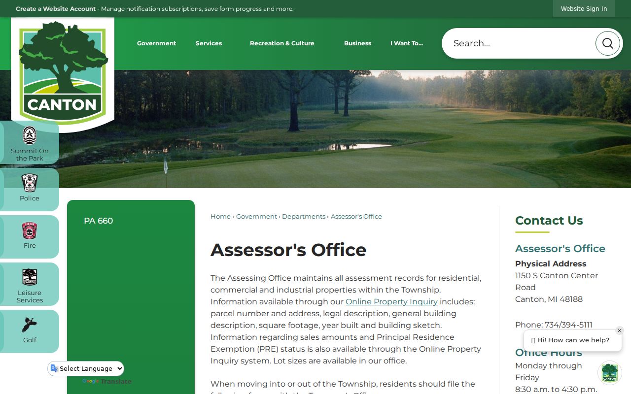
The assessor screen is the first handoff in a street-by-street search, because its parcel and property facts can be carried into map and deed research.
Canton Township Address Keys
A Canton Township address can point to a single parcel, a condominium unit, a larger parent parcel, or a subdivision lot. The parcel number is often the most stable key because names, initials, ownership entities, and even street presentation can change. Save the address exactly as displayed, together with the legal description and any subdivision or condominium wording. This creates a way to compare results without assuming that similarly named people are the same person.
- Parcel
- A defined piece of land used for assessment and mapping. It anchors the record trail when an address is inconsistent.
- Situs address
- The physical location of the property. It is different from a tax-roll mailing address when the record holder receives mail elsewhere.
- Legal description
- The lot, unit, subdivision, or metes-and-bounds wording used in land records. It can connect older deeds to a modern address.
- Plat
- A recorded map that lays out lots, streets, easements, or a subdivision. It provides land context, not a resident list.
- Criss-cross directory
- An address-ordered directory, when a confirmed historical volume exists. No complete Canton Township online run was identified in this research.
Search with and without punctuation or a directional prefix. The research did not locate an official Canton street-renumbering schedule or renamed-road project. If an older address fails, compare the legal description, plat, road name, and township boundary instead of inventing a renumbering event.
Canton Township Street Search Fields
Canton’s assessment material says the Property Inquiry route includes parcel number and address, legal description, general building description, square footage, year built, building sketch, sales amounts, Principal Residence Exemption status, and lot size. The live BS&A entry point offers three useful ways to start: address, name, and parcel number. Use the physical address first whenever possible, then preserve the result’s exact labels and source date.
| BS&A search field | How to use it | What the property result can support |
|---|---|---|
| Address | Use the street number and normalized street name; test unit or suffix variants when needed. | A matching property record and its displayed situs information. |
| Name | Use only as a cross-check after an address or parcel is known. | A lead to an assessment record, not proof of current occupancy. |
| Parcel number | Carry the number forward from a verified assessor or map result. | The strongest stable link between assessment, map, and land-record searches. |
BS&A also presents entry points for sales, detailed records, current tax, permits, building-department, and utility-billing services. A particular service may require a different municipal data set or account. Do not promise a field that the live Canton result does not show, and direct a suspected assessment error to the Assessor or Treasurer rather than changing a record from another source.
Canton Township Street Map Layers
The Canton CIGIS catalog supplies a spatial check that the assessor card cannot. Its public inventory includes parcels, parcel lines, roads, buildings, subdivisions and developments, zoning, cemeteries, parks, multiple aerial years, election layers, township boundary, utilities, and USPS ZIP Codes. The parcel service documents identify, query, find, export, pagination, and spatial-query capabilities. Those tools show where a property is and how it relates to a street or development.
The public parcel-layer inspection confirmed an OwnerName1 display field, but it did not expose a complete current list of assessment attributes. That is why GIS should be used for geography and cross-checking, while the assessor record supplies the field-specific property facts. A map owner label may lag a transfer, abbreviate an entity, or omit an additional owner.
The Canton parcel layer is the official source behind this map-oriented step. Use it to identify a polygon or road relationship, then return to the separately searched property record.
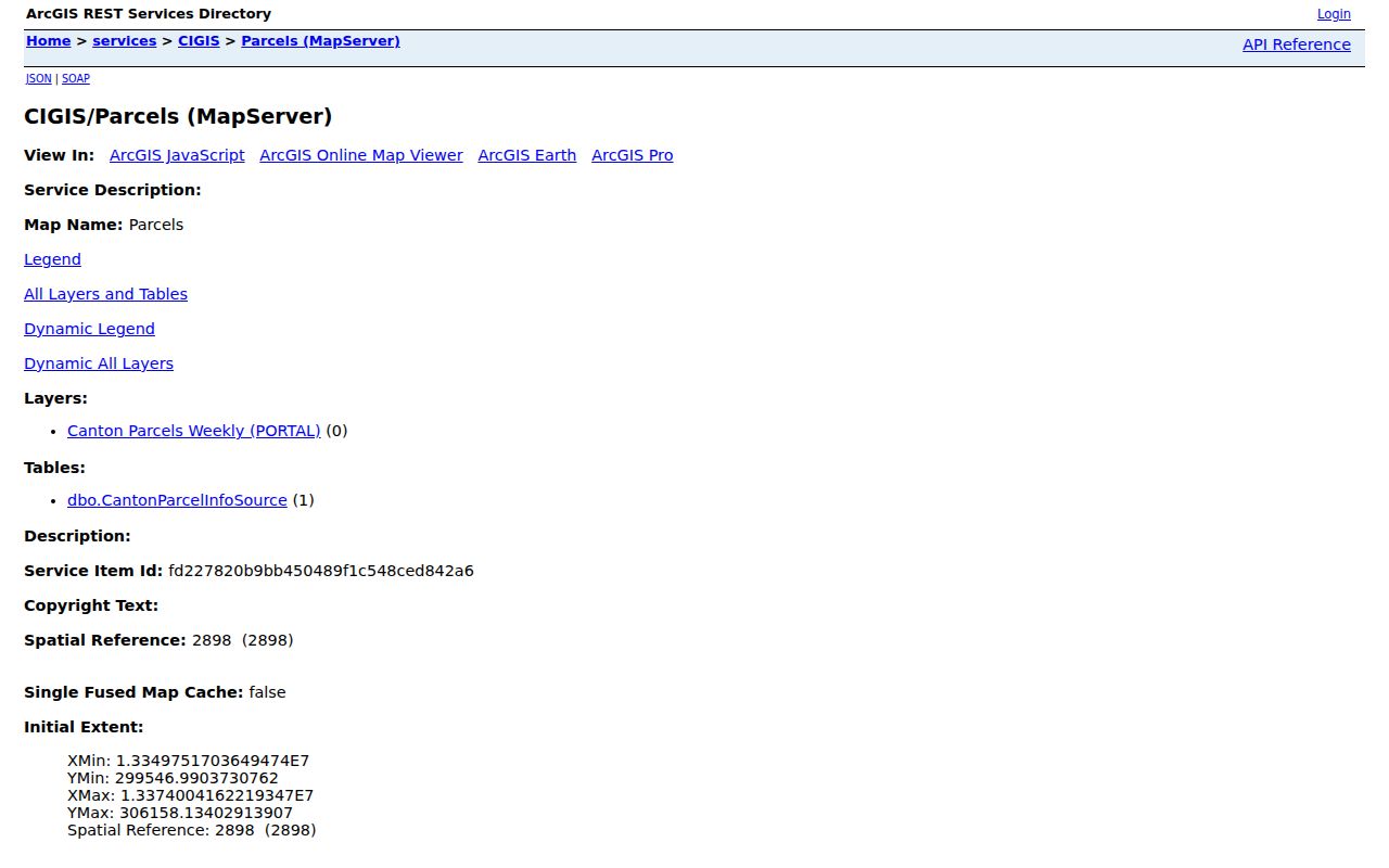
Parcel geometry can locate the correct property along a road, but it does not identify every person connected with that address.
Canton Township Records by Address
Address-keyed records form a chain rather than one master directory. The assessment record establishes the parcel context; the map provides the street and spatial setting; the Register of Deeds preserves recorded instruments; and Canton offices may hold a targeted permit or planning record. Voter information has separate statewide privacy rules and is not a street-by-street household source. Keep each result labelled by its record type.
| Address record | Custodian | Useful result | Access and boundary |
|---|---|---|---|
| Assessment/property inquiry | Canton Assessor | Parcel, legal description, building and assessment facts, displayed owner | Public online inquiry; it does not prove occupancy. |
| Parcel and map layers | Canton CIGIS | Parcel geometry, roads, zoning, development, aerial and ZIP context | Public map/REST services; map labels need cross-checking. |
| Recorded land instruments | Wayne County Register of Deeds | Deeds, plats, mortgages, releases, and legal-description trail | Online index and office/copy routes; fees and coverage vary. |
| Permit or plot-plan material | Canton Building and Planning | Documented work or land-record-change context | No complete historical online lookup found; ask by address and date. |
| Voter registration lookup | Michigan Secretary of State | A supplied person or address query within the official interface | Individual route with protected fields, not a bulk street roster. |
For property tax, the Treasurer’s tax information is related but distinct from title and residency. A tax balance, exemption, assessed value, or mailing address has to be read as a tax or assessment fact, not as a statement about who lives on a Canton Township street.
Wayne Deeds for Canton Streets
The Wayne County Register of Deeds search-services page describes a free name-oriented public search and an On-Demand Account that expands research by address, legal description, parcel or tax ID, liber and page, and similar keys. A grantor is the party transferring an interest; a grantee is the party receiving it. Read the document type, recording date, document number, legal description, and whether the copy is certified before drawing any conclusion. Coverage language needs care: the search-services page says online search and copy access reaches back to January 1, 1960, while the Register’s main page uses “recorded after 1986” wording. Test the relevant date range and contact the Register for an older record rather than treating either statement as a complete guarantee.
The official Register search and copy service shows the current route for online, mail, and in-person work.
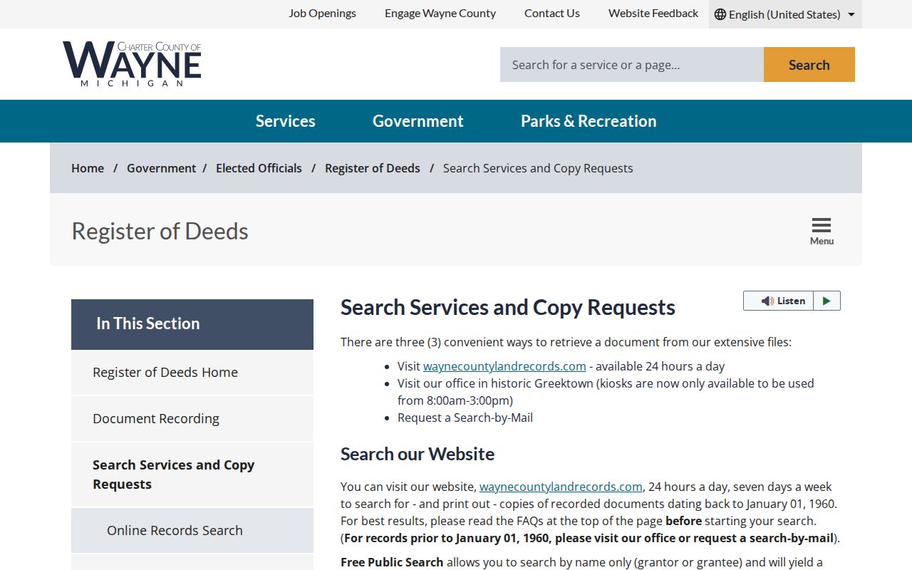
For proof of a recorded deed, request the instrument through the Register’s official process instead of relying on an index or screen image.
In-person searching is at the Coleman A. Young Municipal Center, 400 Monroe Street, seventh floor, Detroit. The research notes appointments have been required for the described in-person service since October 1, 2025. Verify the current appointment instructions, copy charges, and certification charges before going, because the Register’s fees and procedures can change.
Canton Township Growth Shapes Addresses
Canton Township covers about 36 square miles and its Master Plan describes subdivisions, condominiums, planned developments, and more than 200 homeowners associations. That scale explains why a modern address may have a parcel card, a recorded plat, a condominium declaration, an aerial history, and a private association contact route. The documents are related, but none automatically supplies a household identity.
The local record trail also tells a change-over-time story. Canton moved from an agricultural and Cherry Hill-area community into a large suburban township, so a research path may begin with an older farm tract and end with a lot or unit in a newer development. Compare dated aerials, plats, and recorded instruments when the facts support it. Do not infer a “then and now” story merely from how a map looks.
Public HOA and community listings are limited contact routes, not membership records. The Township directory may show only a small subset even though the Master Plan estimates more than 200 associations. A subdivision name can help identify a plat or legal description, but it does not establish that a person is a resident.
Canton Township Street Permit Trails
Building, Planning, and Engineering records can add dates to a house or parcel history. Canton’s permits and applications page says qualifying residential plot-plan searches can be requested through Building and provides contacts for building, planning, engineering, property splits or combinations, and land-record changes. The Township does not require HOA approval before issuing a residential permit, although a property owner may still have private association obligations.
No complete public historical permit or code-case lookup was located for Canton Township. For a specific property, use a narrow request: name the department, record type, address or parcel, date span, and preferred format. Canton accepts online NextRequest submissions and paper requests under the Michigan FOIA route. Michigan FOIA generally uses a five-business-day response framework with a possible written ten-business-day extension.
Note: A property permit can document work or an application, not a complete list of former occupants or a final statement about title.
Canton Township Street Search Gaps
Several tempting address sources were not found in the public research: a complete household roster, a public utility-customer list, a current local reverse directory, and a confirmed year-by-year Canton-specific printed directory run. The library and historical sources are useful for dated research, but the public pages do not establish that a criss-cross directory exists online for every Canton address. A no-result can mean the source is limited, the address changed form, or the record was never in that collection.
For older research, the Canton Township historical collections, Canton Public Library resources, Observer archive, Michiganology links, historic maps, and the Historical Society provide a better fallback than guessing. Preserve the issue date, source title, page or image, address, and whether a historical item identifies an owner, occupant, or merely a person mentioned in reporting. Historic results should always stay dated.
Note: The public sources did not document a Canton address-renumbering event, so bridge old and new forms with legal descriptions and plats, not assumptions.
Limits of Canton Township Street Directory
A property owner, recorded grantee, map label, ZIP, or voter query does not prove a full current household. Public records may exclude people who rent, share a home, have protected information, or never appear in the particular index. Michigan’s Address Confidentiality Program uses substitute addresses for eligible people at risk. Never try to connect a substitute address to a real location through other sources.
Use street and address records for careful property history, civic information, family research, or a specific official-record question. Keep results source-specific and date-specific. If an unfamiliar deed or mortgage appears, use Wayne County’s Mortgage/Deed Fraud Unit and the official Fraud Guard route rather than attempting to identify or contact people connected to the filing.
Lawful use. Canton Township street records are for lawful, limited research. Michigan’s stalking statute addresses repeated unconsented conduct; do not use any address record to stalk, harass, intimidate, or harm a person.