
Canton Township Block Records
Looking up Canton Township neighbors begins with geography, not a person list. One address can be placed on a CIGIS parcel map, compared with nearby parcels and roads, and connected to public subdivision, zoning, or recorded-plat context. Each source answers a narrow question. A parcel label may show a displayed owner, while an association directory may offer a public contact route. Neither creates a complete household roster.
| Source | Block context it can show | Access |
|---|---|---|
| CIGIS parcels and roads | Adjacent parcel polygons, roads, buildings, zoning, aerial change, and public features | Public map and REST services |
| Canton BS&A property inquiry | Individually searched assessment and parcel facts | Public portal; not a household list |
| Register of Deeds and plats | Recorded plats, declarations, easements, and legal-description context | Online and office routes; fees vary |
| Community Services Directory | Association names and selected public contact routes | Public service listing, not membership |
| Library and Observer archive | Historical street, development, and civic context | Library databases and archive; coverage varies |
Owners and occupants are different record roles. Renters, family members, utility customers, and people with protected addresses are not turned into public block entries by the sources reviewed.
Mapping a Canton Township Block
The Canton parcel layer supports query, identify, pagination, and spatial operations. Its public map context is useful for a single address and the parcels around it. The inspected REST material did not document a browser radius-selection workflow, so it is better to describe adjacent-parcel browsing than promise a distance tool.
- Normalize the starting address with its street number, directional, suffix, unit or lot, ZIP, and parcel number if known.
- Locate that address in CIGIS, then identify the target parcel and nearby parcel polygons.
- Compare roads, zoning, development boundaries, aerial years, and Township boundary layers for geographic context.
- Open Canton BS&A for an individual assessment question, keeping its displayed owner separate from a claim of residence.
- For a full named-street record chain, use the Canton Township street directory workflow instead of extending a block map beyond its purpose.
A parcel is the stable bridge between map and land record. It can carry a legal description or subdivision reference even when a street label has an abbreviation, directional variation, or condominium unit.
Canton Township GIS Context
The CIGIS services catalog includes parcels, parcel lines, roads, buildings, developments, zoning, cemeteries, parks, aerial photography, utilities, election layers, Township boundaries, and USPS ZIP codes. Used together, those layers make a block easier to understand without claiming that map proximity identifies a household.
Map context matters in Canton. The Township grew from an agricultural community into a 36-square-mile suburban area with subdivisions, condominiums, and planned developments. A modern block can sit on an older tract, but the map must be paired with a dated deed, assessment record, or local history source before any historic claim is made.
Note: A CIGIS owner display field can lag a transfer or abbreviate an entity, so confirm a recorded instrument with the Register of Deeds.
Canton Township Community Contacts
The Canton Community Services Directory offers public routes for Homeowners Associations, Neighborhood Watch, Canton Newcomers and Neighbors, and the Historical Society. These are community resources, not evidence that any person lives on a block. The public listing should be used for a public contact or local-history question, never as a member directory.
The public directory has category, name, first-letter, and search controls. Its inspected North-area entries were only a small current subset, not a full inventory of Canton associations.
The Township HOA links page shows the official route to an association directory and the Register of Deeds. It is a useful place to distinguish a public contact from a private membership or rulebook.
For recorded covenants, declarations, or plats, use a land-record search. A Township permit and a private association approval are separate matters under the Township's published permit guidance.
Canton Township Association Scale
Canton's Master Plan describes more than 200 homeowners associations across the Township's subdivisions, condominiums, and planned developments. The public community directory is much smaller and is not a count of all active associations. That contrast is useful: a subdivision name on a map may help identify a development, but it does not prove an active HOA, membership, or a resident's connection to it.
Community directories work best as a civic layer. They may point to a public manager, officer, phone number, website, or community event. They do not open private rosters, dues, member contact lists, utility data, or private bylaws. When a question is about a recorded restriction, the Register of Deeds and the parcel legal description are the appropriate starting points.
Canton Township Voter Boundaries
Michigan's Voter Information Center supports a supplied individual name or address query. It is not a tool for finding all voters on a Canton block. A defined QVF request has formal scope and privacy limits, and sensitive fields such as full birth date, driver-license information, signature, phone, and email are withheld.
A voter result has a different meaning from a parcel result. Registration is time-sensitive, privacy-limited, and tied to an individualized elections question. The absence of a result does not prove that someone is not present in Canton, and a public block map should never merge voter information into a household list.
Canton Township Neighbor Sources
Official records are best read as separate sources with named custodians. CIGIS explains geography, BS&A explains an individually searched assessment record, the Register of Deeds explains a recorded instrument, and a community directory offers a public organization contact. Commercial neighbor-lookup products mix public and commercial data of uncertain date and match quality. They are not a substitute for the underlying Canton or Wayne County source.
| Official source | Best use | Key limit |
|---|---|---|
| CIGIS | Adjacent parcels and map context | Not a household map |
| BS&A | Parcel and assessment facts | Displayed owner is not occupancy proof |
| Community directory | Public association or civic contact | Not a membership roster |
A source date, a parcel number, and the record type reduce false matches. When the question moves from a block to a historical household, use a dated library, newspaper, census, or deed source and describe the person's recorded role.
Canton Township Neighbor Privacy
Some information stays private even when a block is visible on a map. The sources reviewed do not publish complete household members, renters, utility customers, delivery data, closed DMV addresses, or HOA membership lists. Michigan's Address Confidentiality Program can provide a substitute address for eligible survivors and people at risk. Never try to link that substitute address to a real location.
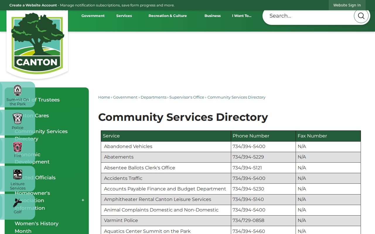
The Community Services Directory supports civic connections without revealing a household roster. If an address concern involves threats, stalking, fraud, or immediate danger, contact law enforcement, a court, or an advocate rather than using public-record tools to make contact.